

Digitization
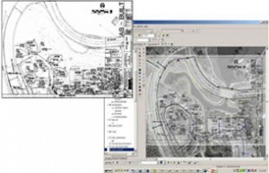
Cyber Matrix Geomatics provides map digitisation services representing analogue signals or raster images by a discrete set of points.
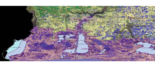
Before any geographic image / map can be used in a GIS system, it must be converted into a compatible digital / vector format known as vectorization. The process of making maps/ map digitizing with GIS is much more flexible than traditional cartography, and we are experienced at it. For many types of geographic operations, the end result can be best visualized as a map. Maps are extremely efficient for the storage, representation and communication of geographic information. To make a well-used quote, “A map is worth a million words.”
Cyber Matrix Geomatics has digitization experts, who at first, georeference the image to be digitized and then converts it to vector format, ie., raster to vector conversion.


