

PHOTOGRAMMETRY
GIS Photogrammetry is the process of obtaining required and reliable measurements from the digital photographs. This incurs the utilization of all views of the photograph like horizontal, vertical and side views for processing and analysis.
This is a technique of measuring 2D or 3D objects from photographs. These are also called photo-grammes as they are stored usually by digital or CCD cameras or radiation sensors such as scanners.
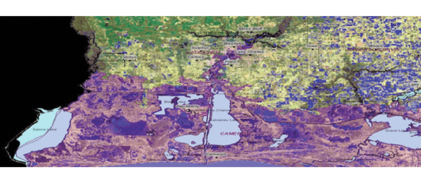
The important thing to be noticed is that object is measured without even touching it, hence it is often misunderstood with remote sensing, which means aerial photography and satellite imaging. It includes the interpretation of image. Photogrammetry remote sensing truly replicates the imaging an object with measurements from some distance.


