Remote Sensing

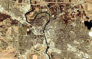
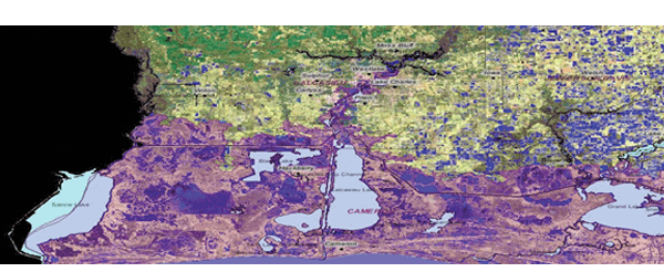
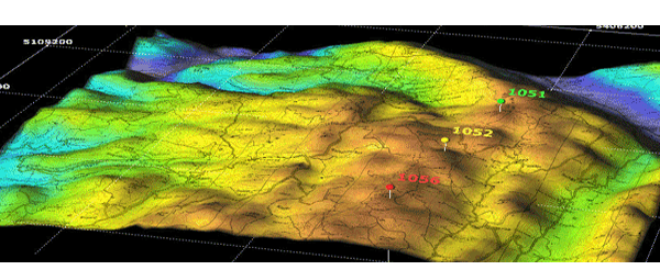
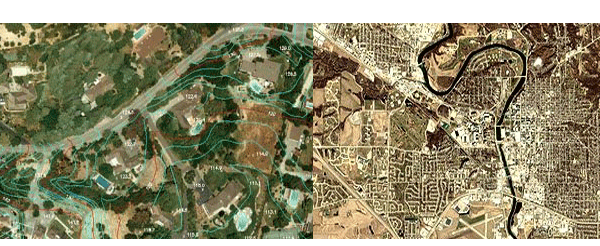
Cyber Matrix is internationally acclaimed firm known for our innovative techniques and accurate details regarding geological remote sensing. We specialize in remote sensing, image interpretation and land cover classification with satellite imaging techniques.
Remote Sensing is a branch of science used to take measurements of earth without making actual contact and with the use of sensors placed on satellites. Sensors collect the information in the form of geographical images and enables manipulation, analysis and visualization. These instruments are integrated in GIS software. In this system information is transmitted in the form of electromagnetic radiation (EMR). EMR is a type of energy form that is produced after it strikes a particular matter.


